So, as I had to do it for a client, I’m sharing this for posterity, I think it might be useful.
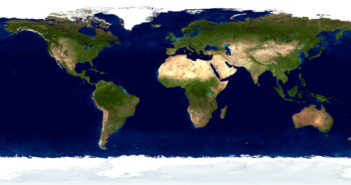
I’ve divided all world countries (as of 2021), into separate geojson format files.
I’ll see if in the future I can add maps related to each country shape.
Cretits to http://www.naturalearthdata.com for providing this data for free as well.
